Lakes in Arkansas
Arkansas showcases pristine crystal-clear Ouachita Mountain reservoirs and Ozark highlands lakes celebrated for striped bass, scuba diving, and uninhabited islands. Explore interactive maps, depths, surface areas, public boat ramps, and fishing spots for lakes across Arkansas.
Interactive Lake Map of Arkansas
Arkansas Lake Directory
Showing 1 verified lake in Arkansas
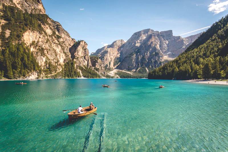
Lake Ouachita
Garland, Montgomery County, AR
Lake Ouachita is the largest lake located entirely within Arkansas, created by Blakely Mountain Dam on the Ouachita River. Completely surrounded by the lush Ouachita National Forest, the reservoir has virtually no commercial shoreline development, preserving an undisturbed wilderness character with over 200 uninhabited islands, crystal clear diving waters, and world-class striped bass fishing.
Frequently Asked Questions about Lakes in Arkansas
What is the largest lake in Arkansas?
Lake Ouachita is the largest lake in Arkansas documented in our verified directory, spanning roughly 40,100 acres.
How many lakes does Arkansas have?
Official hydrological estimates catalog over 2,300 named lakes, reservoirs, ponds, and impoundments across Arkansas.