Lake Maps: Explore Lakes Across the United States
Discover verified water level status, live wind conditions, bathymetric depths, surface areas, boat ramps, game fisheries, and interactive satellite maps across all 50 states.
The Authoritative United States Lake, Reservoir & Bathymetric Database
Lake Maps catalogs over 30,000 public freshwater lakes, alpine glacial tarns, recreational reservoirs, and terminal saline sinks across all 50 states. Built for anglers, boaters, hydrologists, and outdoor travelers, our directory unifies fragmented federal, state, and regional datasets into a verified, single-source-of-truth platform.
Official maximum depth soundings, mean operating depths, conservation pool surface acreages, water storage in acre-feet, and normal pool elevations above sea level.
Documented public boat launch ramps, marina slip facilities, fuel availability, lakeside campgrounds, state parks, and navigation ordinances.
Verified game fish assemblages (bass, walleye, trout, salmon, crappie), thermal stratification guidelines, and state wildlife department stocking records.
Explore Lakes Across the United States
Popular US Lakes
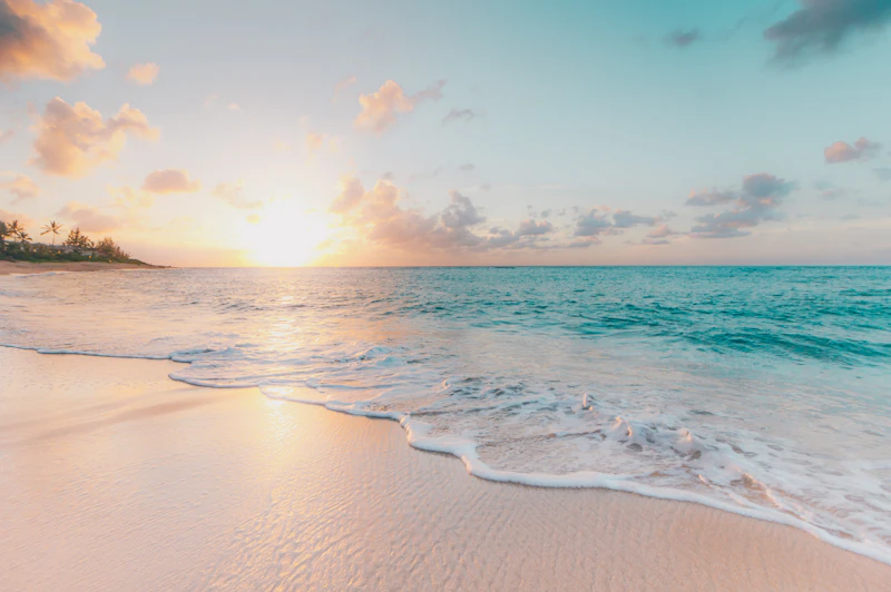
Lake Lanier
Hall, Forsyth, Dawson, Gwinnett, Lumpkin Co., Georgia
Lake Sidney Lanier is an impoundment on the Chattahoochee and Chestatee Rivers in northern Georgia, constructed and operated by the U.S. Army Corps of Engineers. Completed in 1956 following the construction of Buford Dam, the reservoir provides primary drinking water for metropolitan Atlanta, hosts millions of recreational visitors annually, and served as the rowing and canoe sprint venue during the 1996 Summer Olympic Games.
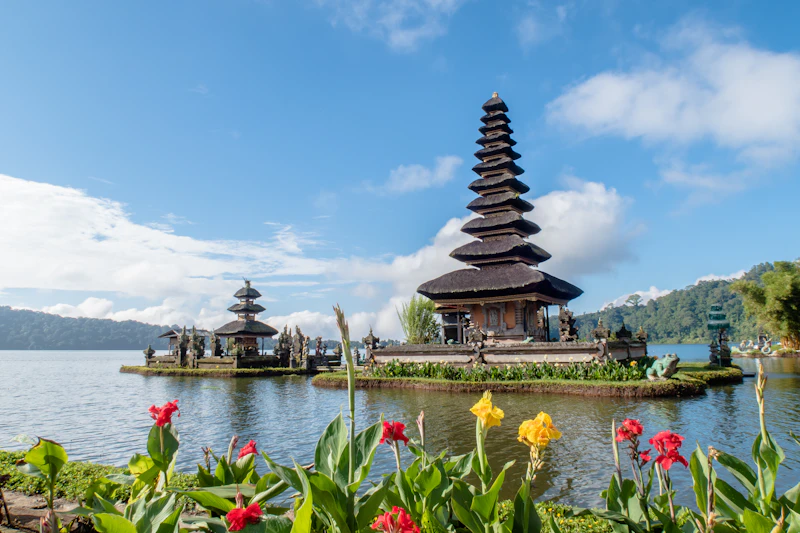
Lake Tahoe
Placer, El Dorado, Washoe (NV), Douglas (NV) Co., California
Lake Tahoe is a large freshwater lake situated in the Sierra Nevada of the United States, straddling the state line between California and Nevada. Formed approximately two million years ago as part of the Lake Tahoe Basin, it is the second deepest lake in the United States (1,645 feet) and the sixth largest lake by volume in the nation. It is internationally famous for its exceptional water clarity, cobalt blue color, and surrounding alpine ski and hiking terrain.
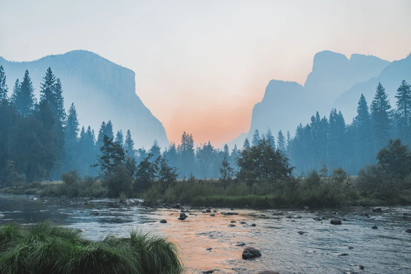
Crater Lake
Klamath Co., Oregon
Crater Lake is a caldera lake located in south-central Oregon. It is the main feature of Crater Lake National Park and is famous for its intense blue color and water clarity. The lake partly fills a 2,148-foot-deep caldera that was formed around 7,700 years ago by the catastrophic collapse of the volcano Mount Mazama. Crater Lake is the deepest lake in the United States and the ninth deepest lake in the world.
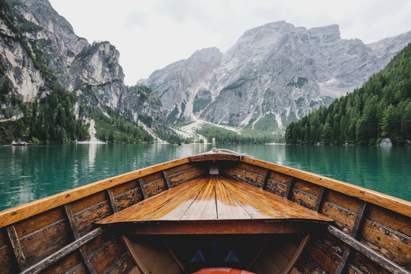
Lake Mead
Clark (NV), Mohave (AZ) Co., Nevada
Lake Mead is the largest reservoir in the United States in terms of water capacity, formed by the Hoover Dam on the Colorado River. Situated 24 miles east of Las Vegas across Nevada and Arizona, the lake supplies critical water to over 25 million people across Nevada, California, Arizona, and northern Mexico, while serving as the center of Lake Mead National Recreation Area.
Lake Powell
Kane, San Juan, Garfield (UT), Coconino (AZ) Co., Utah
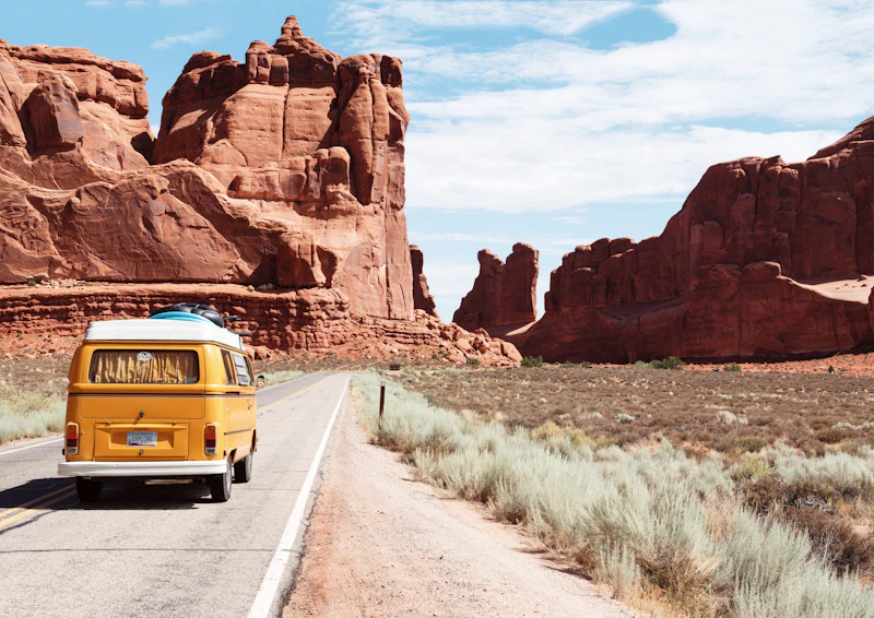
Lake Powell is an immense man-made reservoir on the Colorado River in Utah and northern Arizona, created by the flooding of Glen Canyon behind Glen Canyon Dam. With nearly 2,000 miles of winding canyon shoreline, it is celebrated for towering red Navajo sandstone cliffs, side slot canyons, houseboating, and natural arches including Rainbow Bridge National Monument.
Lake Michigan
Cook, Lake (IL); Milwaukee, Door (WI); Berrien, Ottawa, Grand Traverse (MI); Lake, Porter (IN) Co., Michigan, Wisconsin, Illinois, Indiana
Lake Michigan is the only Great Lake located entirely within the United States borders, shared by Illinois, Indiana, Michigan, and Wisconsin. Joined to Lake Huron at the Straits of Mackinac, it is hydrologically part of the same water body. Its southern shores anchor the Chicago metropolitan skyline, while its eastern and northern shores boast towering coastal sand dunes and historic resort ports.
Browse Lakes by State
Detailed lake directories and interactive maps for all 50 US States
Largest Lakes in the United States
Whole-lake basin acreages shown. International border lakes include Canadian waters. Lake Michigan is the largest lake located 100% within U.S. territory.
Lake Superior
Lake Superior is the largest freshwater lake in the world by surface area (31,700 sq miles / 20.28 million acres) and the third largest by volume, holding 10% of the world’s surface fresh water. Shared by Michigan, Minnesota, Wisconsin, and the Canadian province of Ontario, Superior is known for its cold, clear, oceanic-scale waters, historic shipwrecks, and dramatic sandstone sea cliffs like Pictured Rocks National Lakeshore.
Lake Huron
Lake Huron is the second-largest Great Lake by surface area and contains Manitoulin Island, the world’s largest freshwater island. With expansive Saginaw Bay and the Thunder Bay National Marine Sanctuary (the "Shipwreck Century"), Lake Huron is famous for historic maritime heritage, clear turquoise bays, and world-class salmon and walleye fisheries.
Lake Michigan
Lake Michigan is the only Great Lake located entirely within the United States borders, shared by Illinois, Indiana, Michigan, and Wisconsin. Joined to Lake Huron at the Straits of Mackinac, it is hydrologically part of the same water body. Its southern shores anchor the Chicago metropolitan skyline, while its eastern and northern shores boast towering coastal sand dunes and historic resort ports.
Lake Erie
Lake Erie is the shallowest, warmest, and most biologically productive of the North American Great Lakes. Famous as the "Walleye Capital of the World," Lake Erie supports massive recreational and commercial fisheries. Its islands—including South Bass Island (Put-in-Bay) and Kelleys Island—are celebrated warm-weather vacation hotspots.
Lake Recreation & Hydrologic Tools
Water Level Calculator
Calculate reservoir water volume departure in acre-feet, billions of gallons, and horizontal beach displacement.
Open Water Calculator →Freshwater Fishing
Explore lakes with verified game fish populations including striped bass, largemouth bass, walleye, salmon, and crappie.
Explore Fishing Lakes →Boating & Marinas
Public boat ramps, full-service marinas, fuel docks, houseboating hubs, and wake regulations.
View Boating Ramps →Lakeside Camping & Parks
State parks, national recreation areas, shoreline tent sites, and RV campgrounds along lakes across America.
Find Camping Lakes →